Our Infrastructure
AIC currently irrigates 28,000 hectares of land within the Waiau and Hurunui Catchments. Our three schemes are composed of open channel and a pressurised pipe network to allow for continuous supply for spray irrigation.
4,000 hectares of land is irrigated from the open race and 24,000 hectares is irrigated via the pipe network. The water taken from the Waiau River (for the Waiau and Waiareka schemes) is deemed to be highly reliable (99%), whereas the Hurunui River is only offers good reliability (95%). Reliability is measured as the amount of time during the irrigation season that water will be available averaged over the years of the record (this does not consider irrigation demand).
View a scheme map here.
Three Schemes
-
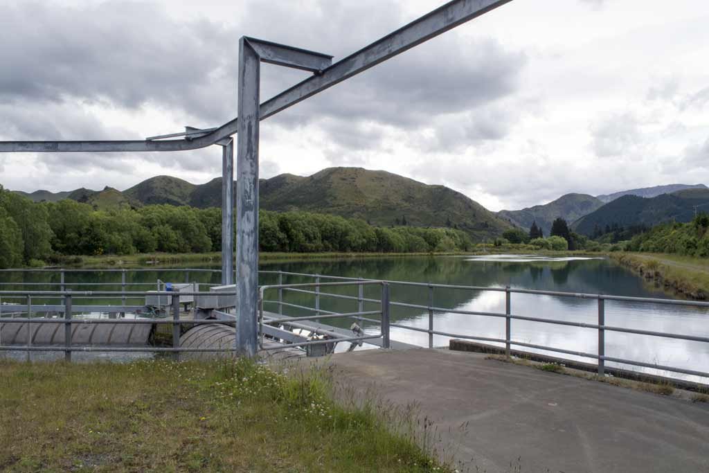
The Balmoral Scheme was built in 1985 and partially upgraded to pipe in 2017. The consent allows for five cubic metres per second of water to be taken. Water is diverted from the Hurunui River below the Mandamus confluence into a diversion race on the north bank. The water then runs along a race to a control gate structure and into a settlement pond. Any surplus water can be returned to the river at this point. A fish screen and intake are located at the head of this pond and the rate of flow into the intake is controlled by a radial gate at the river intake and a second gate at the head of the pond. An open race carries the water to near Balmoral Station Road where it enters two pipelines for further distribution towards farmland near Culverden.
-
The Waiau scheme is AIC’s largest scheme. The original open race system was completed in 1980 and partially upgraded to pipe in 2017. It takes 11 cubic metres per second of water from the Waiau River at the Leslie Hills Road Bridge, which is then gravity fed along an open race at Mouse Point where it enters the pipe network and is distributed along three main pipelines to farmland closer to the townships of Culverden and Rotherham. The scheme was originally set up for borderdyke irrigation but now 100% of irrigation within this scheme is by spray irrigation.
-
The Waiareka scheme was opened in 1976 and takes 450 litres per second of water from the north side of the Waiau River at an intake point east of the Waiau Township. Water is fed into a settling pond with two fish bypass races adjacent to the fish screen leading back to the river. There are two discharge points for unused water toward the bottom of the scheme. This scheme waters over 400ha on eight farms by border dyke and spray irrigation from a single flow race on a 12 day rotation. In 2018 a 5km pipe and pond was installed to facilitate the conversion to spray irrigation.

BALMORAL SCHEME

WAIAU SCHEME

WAIAREKA SCHEME
Location of Pipe Assets
Our pipe network was completed in 2017 and it is easy to forget where pipe was laid. It is critical that contractors know where AIC’s pipe is buried and a safe offset distance is maintained when working at depth within the vicinity of any scheme pipework.
A damage repair job on larger GRP pipe will cost well into the tens of thousands of dollars and these costs would need to be recovered by AIC. Taking into account time to drain lines, repair and refill pipes, it would likely take a week or more. If this coincided with high water demand the downtime would have a heavy impact on potentially many farms.
We have a map file compatible with Google Earth that shows the as-built alignments of the installed pipelines. Please note the while the pipe alignments are survey accurate, the aerial photography information in Google Earth can be out by a few metres. The accuracy of a cellphone’s GPS receiver may also be out by a few metres. For these reasons, if you need to know the exact location of an AIC pipeline, one of our staff can more accurately locate and mark the pipe alignment with our survey equipment.
We are also signed up to BeforeUDig, an online system that is that is commonly used by contractors to obtain information on the location of cables, pipes and other utility assets in and around any proposed dig site.


